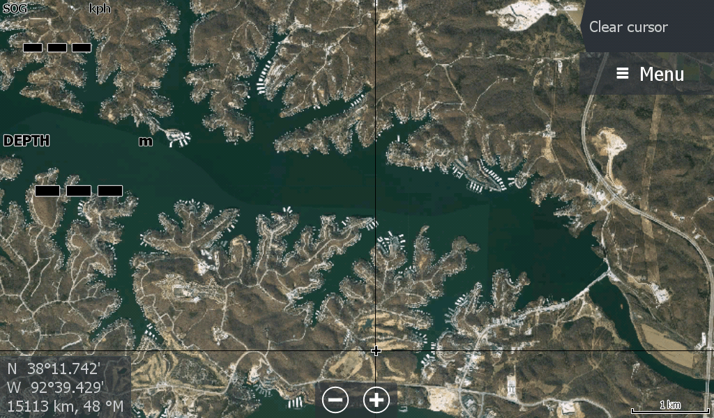
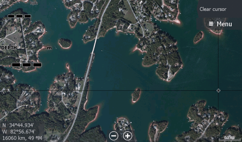
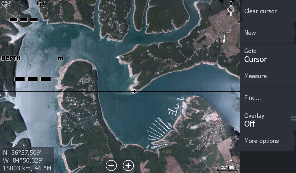
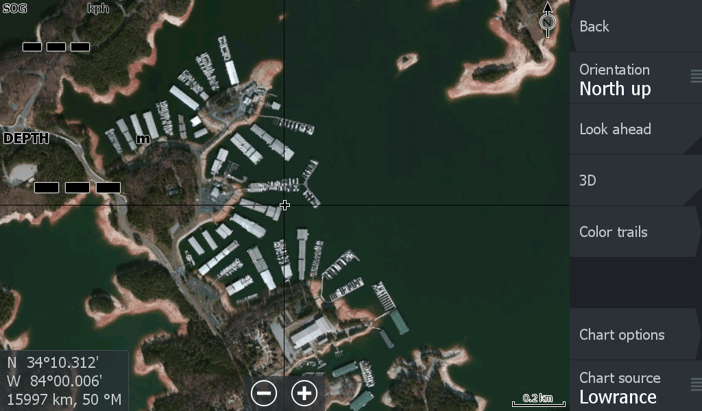
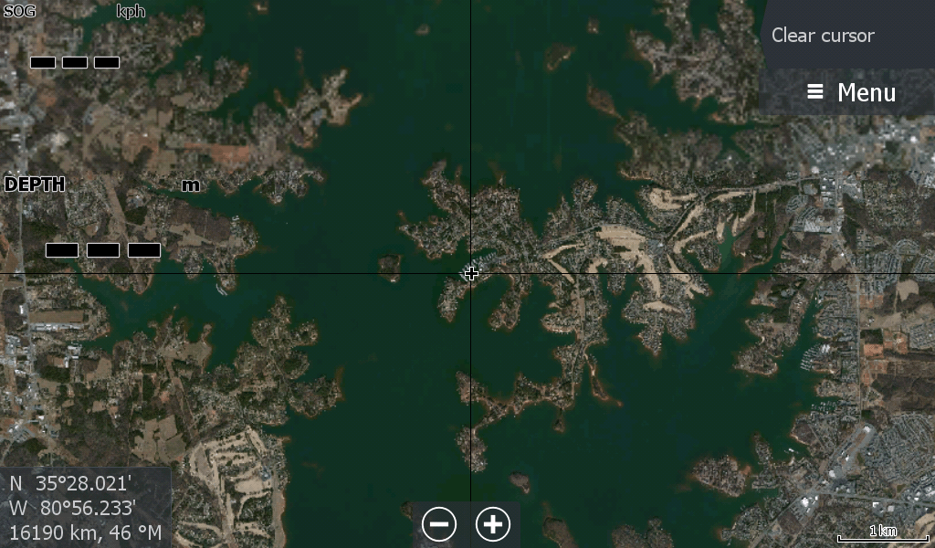
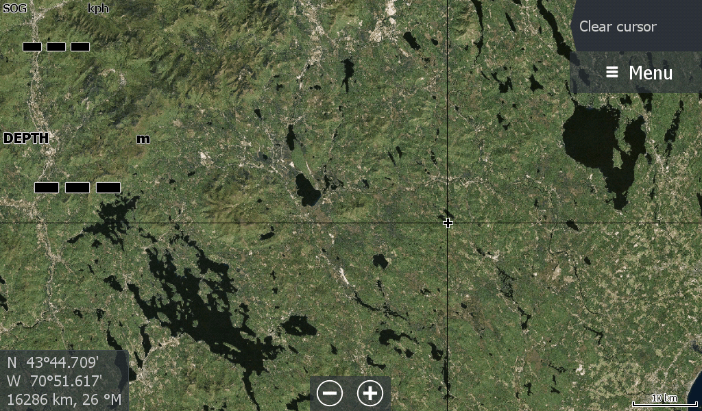
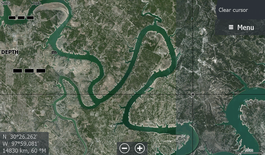
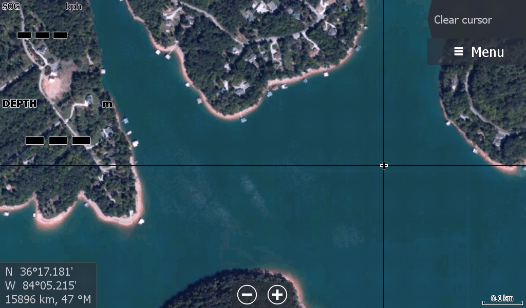
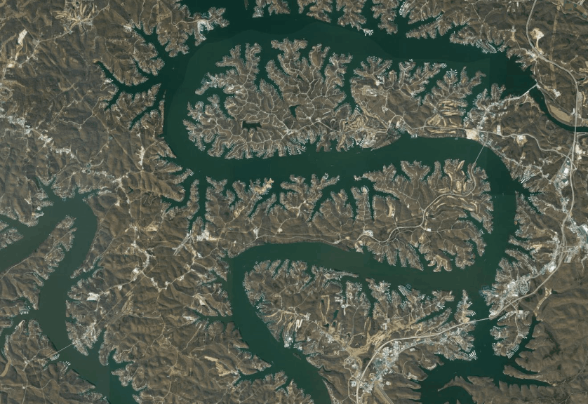
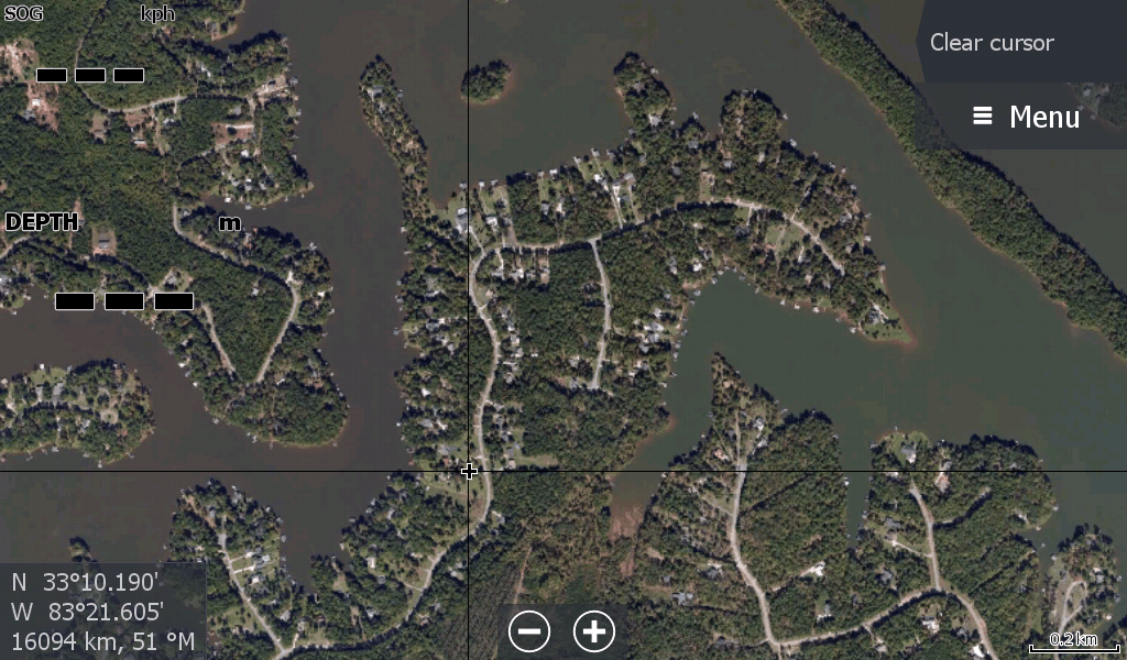
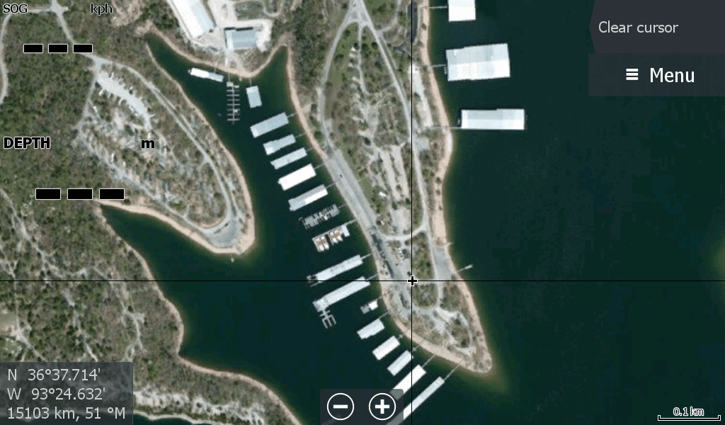
The satellite maps you need when boating and fishing the vast lakes and waterways of the USA
When your chart plotter only gives you basic information in remote waterways,
you need an extra edge to stay out of trouble with a satellite overlay.
Please Follow on facebook to keep up to date with new maps & tips
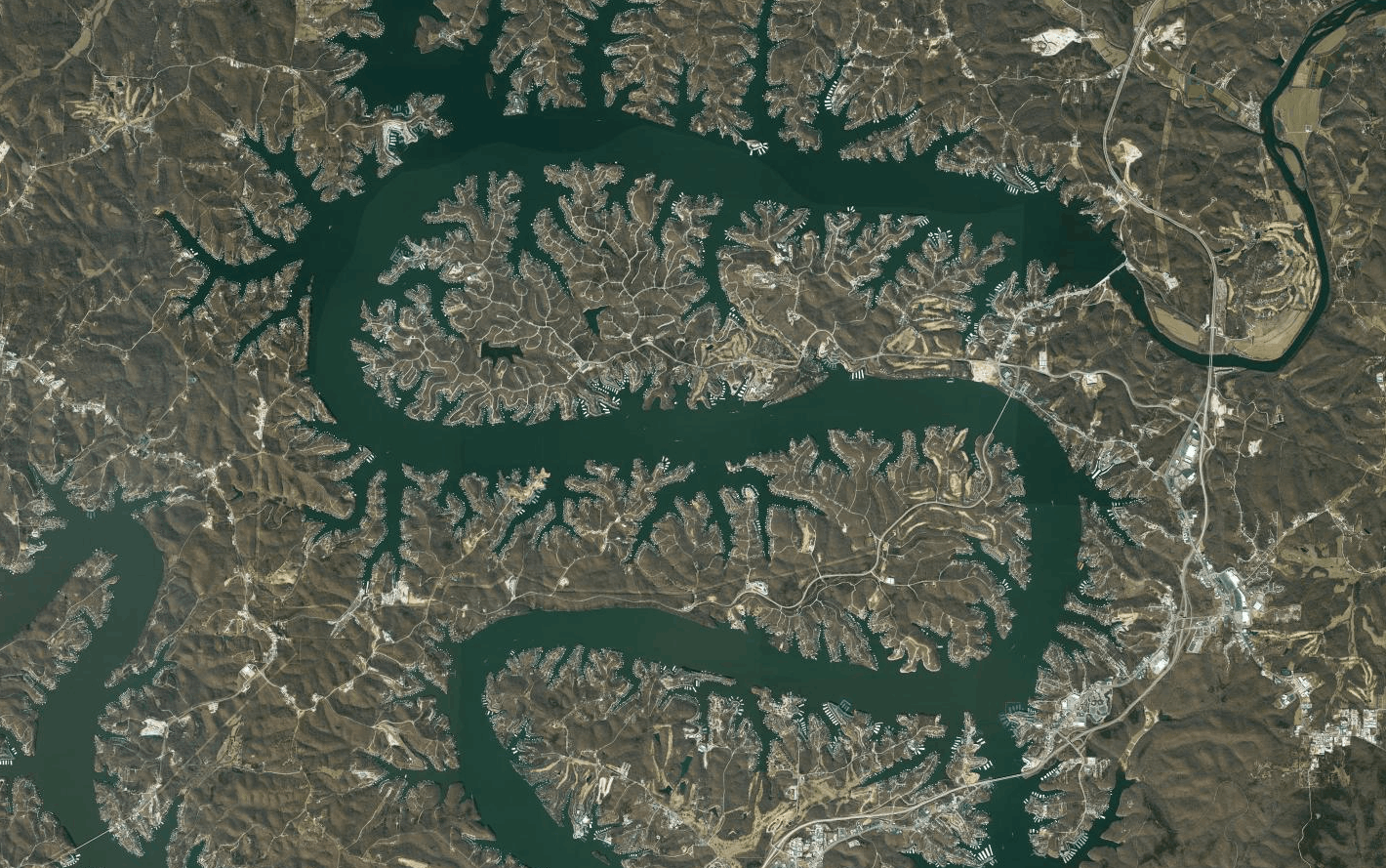
These maps will cover your Lake system and nearby creeks.
For the cost of a crankbait lure, get a map in to your sounder right now.
The "shop now" link opens in the payhip.com/lakeviewmaps storefront site where you can view all maps for purchase
We know that feeling when your map on the boats chart plotter looks like a basic yellow cartoon and does not have the location you are looking for. You should not need to risk dropping your phone overboard (Its been done a hundred times before) or even refer to a paper map to get your bearings to find that boat shed.
There is now an option to purchase specific lake maps and also at affordable prices to cover my shop fees , hosting & hopefully fuel my boat.
Best AI Website Creator